
Near vertical beds to SE dipping beds can be observed from the beginning of this section, Just North of Stonehaven [1], (Figs. 1 - 4). These rocks are (Lower Devonian) channel sandstones and floodplain deposits (Figs 5-6), that have been subjected to compression during the M. Devonian (c. 400 Ma) period of intense tectonic activity in the Midland Valley of Scotland. This period of non-deposition is recorded by an impressive unconformity south of here at Arbroath where the Upper Devonian resets unconformably on the Lower Devonian.

Figure 1. Stonehaven is just south of Aberdeen, UK. Right hand image (google maps) is start of the section (red flag at Stonehaven Hill).

Figure 2. Steeply dipping beds at the beginning of section, Stonehaven. View North from Stonehaven Hill.
We are looking at the northern limb of the Strathmore Syncline, just South of the Highland Boundary Fault (HBF) before it enters the sea. There would have been movement of the HBF at this time when the beds were steepened - this could be described as a hanging wall syncline or perhaps just normal drag. The variable strike of beds further along the foreshore and increased complexity (on the G-Earth image) could be related to a bend in the fault in this area.
These beds have since been intruded by quartz-porphyry dykes - these can be seen as left to right breaks in the vertical beds across the foreshore (Fig. 2) and indicated as light brown NW-SE lineaments in Fig. 3.

Figure 3. Google Earth view of locality. Steeply dipping beds in Fig 2 shown in relation to HBF. Also shown is variation in bed strike further along foreshore.

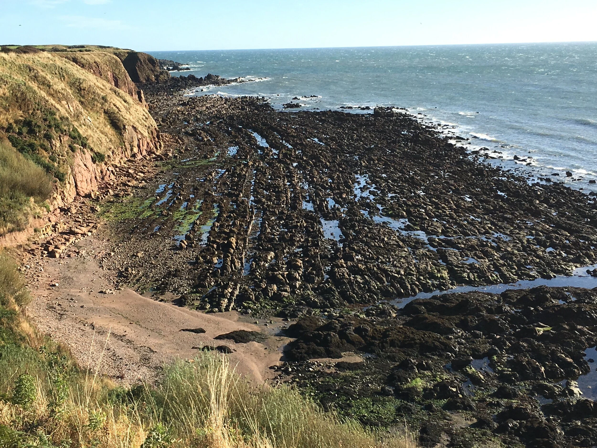
Figure 4. Steeply dipping sandstone beds along the foreshore from Fig. 2.

Figure 5. Fine - medium grained coloured (L. Dev) sandstones are likely sheet flood deposits. The red colour indicates oxidation when the flood waters subsided and the sediments dried out. The interbedded muds are deposited after each flooding episode when the sediment settles out of suspension.

Figure 6. These coarser, (non-oxidised) sandstones are channel deposits. The rivers were sourced in mountainous areas to the N, flowing into the low lying plains.
Reference
[1] https://www.geowalks.co.uk/eso/CowieTeachersGuide-v4.pdf